🌍 Using Earth Engine in QGIS
With the code and algorithm tools below, the underlying Earth Engine assets are added as a WMS via our own custom QGIS Data Provider. To modify data pulled from Earth Engine, you must export it via the Export tools. The exception is if the retain as vector layer option is selected for the Add Feature Collection algorithm.
To export data, you may use the Export Image as GeoTIFF algorithm. For feature collections added with the retain as vector layer, you may also right-click on the layer and use QGIS' built-in export functionality.
Code Usage
You can use Earth Engine datasets programmatically within QGIS using the Python Console:
import ee
from ee_plugin import Map

image = ee.Image('USGS/SRTMGL1_003')
vis_params = {
    'min': 0, 'max': 4000,
    'palette': ['006633', 'E5FFCC', '662A00', 'D8D8D8', 'F5F5F5']
}
Map.addLayer(image, vis_params, 'Digital Elevation Model')
Map.setCenter(-121.753, 46.855, 9)
Algorithms via Processing Toolbox and Plugin Menu
Earth Engine algorithms are available from:
- The Processing Toolbox (
Processing > Toolbox > Google Earth Engine) - The Plugin Menu (
Plugins > Google Earth Engine)
See available algorithms for more details.
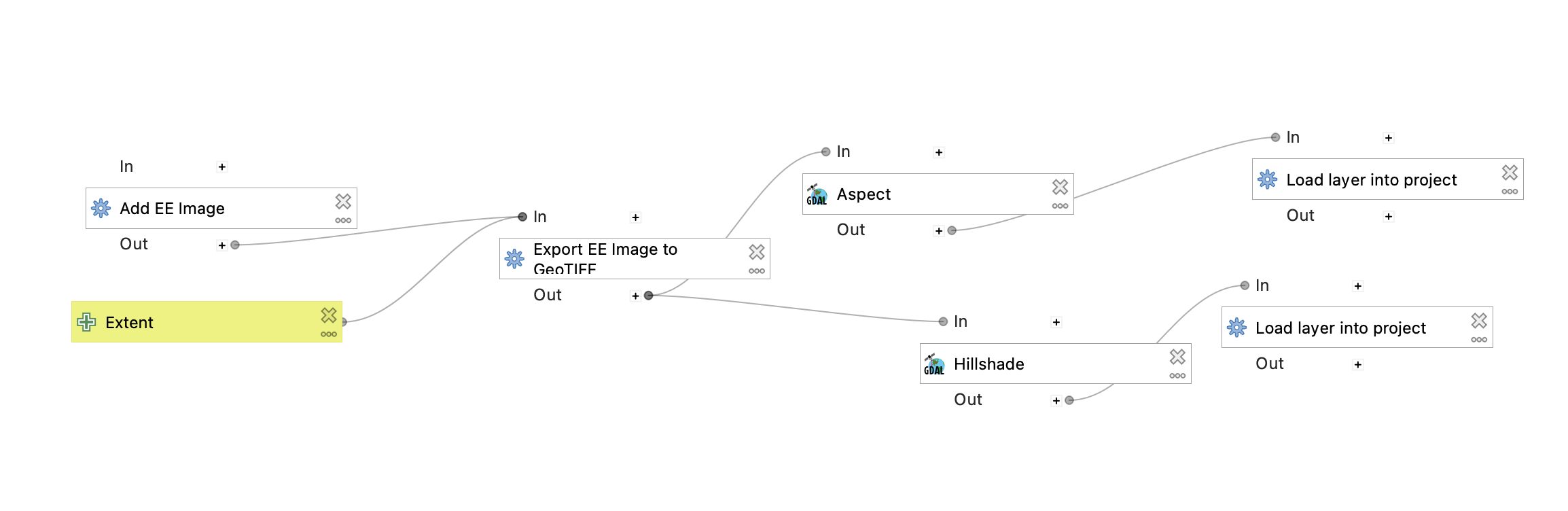
Model Designer
Earth Engine algorithms can be integrated into QGIS Model Designer workflows:
- Open
Processing Toolbox > Models > Create New Model - Add and chain EE algorithms with other QGIS algorithms
- Save your custom processing model for repeated use
An example model is provided for the hillshade example below:
Saving Your Project
Any layers and model workflows can be saved in your QGIS project file.
Be sure to re-authenticate if opening the project on a new machine or after token expiry.
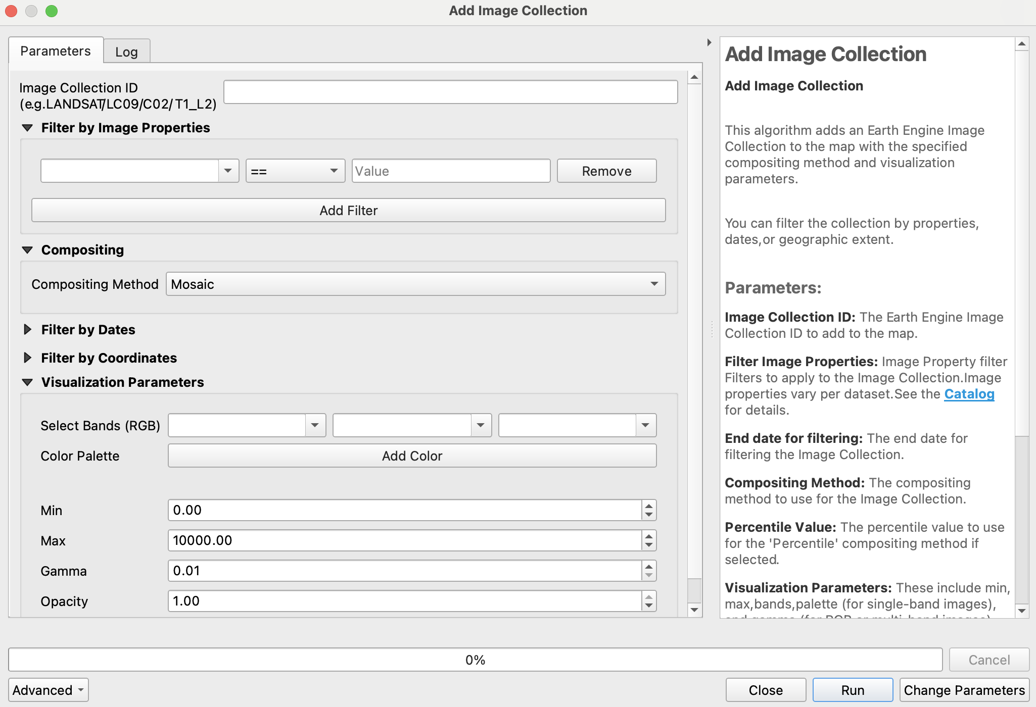
⚙️ Available Algorithms
The following algorithms are currently implemented in the plugin:
| Algorithm Name | Description |
|---|---|
| Add EE Image | Loads a single Earth Engine image for viewing |
| Add Image Collection | Loads a filtered Earth Engine image collection for viewing |
| Export GeoTIFF | Exports an EE image as a Cloud-Optimized GeoTIFF to disk |
| Add Feature Collection | Loads a feature collection from Earth Engine |
📌 Each algorithm includes in-dialog documentation to help guide usage directly within QGIS.
🗺️ Map Functions
The plugin supports several Map API functions similar to the Earth Engine Code Editor:
| Function | Description |
|---|---|
Map.addLayer(eeObject, visParams, name, shown, opacity) |
Adds a dataset to QGIS. |
Map.centerObject(object, zoom) |
Centers the map on an object. |
Map.getBounds(asGeoJSON) |
Returns map bounds. |
Map.getCenter() |
Gets the current center of the map. |
Map.setCenter(lon, lat, zoom) |
Moves the center of the map. |
Map.getScale() |
Returns the current map scale. |
Map.getZoom() |
Returns the current zoom level. |
Map.setZoom(zoom) |
Sets a new zoom level. |
For more details, check the Earth Engine API Documentation.